Bark Beetle Outbreaks: A Combined Approach for Better Forest Health Management
I live in Pennsylvania, USA, and we are getting hammered by the Emerald Ash Borer. Whole forests around me are dying because of this invasive insect.
The article Participatory ground data are complementary to satellite bark beetle detection published in Annals of Forest Science offers groundbreaking insights into how participatory ground data, combined with satellite imagery, can revolutionize our approach to monitoring and managing bark beetle outbreaks.
Such methods are potential applicable n to other forest pests, such as the emerald ash borer.
The Challenge of Bark Beetle Outbreaks
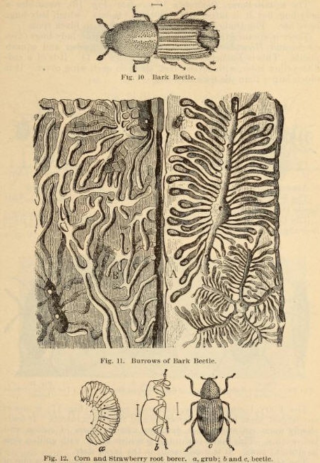
Bark beetles, specifically the European spruce bark beetle (Ips typographus), have caused significant damage to European forests. These outbreaks, often exacerbated by climatic events like windstorms and heatwaves, pose a complex challenge.
Though detailed, traditional methods like field surveys are time-consuming and limited in scope. While covering larger areas, satellite imagery often misses early or small infestations. This is where integrating participatory ground data and satellite imagery becomes vital.
The Power of Participatory Ground Data
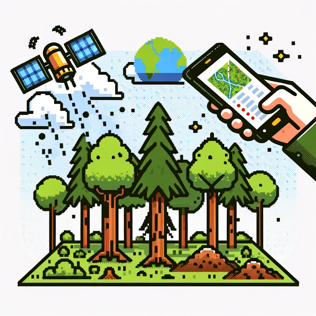
The study highlighted using a smartphone application based on the ArcGIS platform for collecting georeferenced data on beetle outbreaks. This participatory approach, involving non-specialized staff like citizens familiar with forestry, proved effective in detecting early-stage infestations and smaller spots. The beauty of this method lies in its ability to mobilize local communities and leverage their knowledge for scientific purposes (and over at our other job, we love participatory research).
Integrating Ground and Satellite Data
One of the study’s key findings is the complementary nature of ground and satellite data. Ground observations were especially adept at identifying early-stage and small infestations, areas where satellite imagery often falls short. However, satellite approaches were unmatched in covering large areas and detecting advanced infestations. This synergy between localized, detailed ground data and broad, overarching satellite images creates a more complete and accurate picture of bark beetle infestations.
Implications for Other Forest Pests
The methods employed in this study can be adapted to monitor other forest pests like the emerald ash borer. By engaging local communities in data collection through user-friendly mobile applications and combining this data with satellite imagery, we can comprehensively understand various pest infestations. This integrated approach enhances monitoring efficiency and fosters community involvement in forest health management.
Towards a Holistic Approach in Forest Pest Management
The study underscores the importance of combining participatory ground data with satellite imagery in managing forest pest outbreaks. This integrated approach promises to enhance our understanding and response to such ecological challenges. It’s a testament to the power of combining technology with community engagement for better environmental stewardship.
Explore, Learn, and Grow with Science:
Step into the realm of discovery with ‘This Week in Science’! Tailored for both educators and science enthusiasts, our newsletter offers a weekly exploration of groundbreaking research and inspiring stories from the scientific community. By subscribing, you’re not just reading – you’re expanding your horizons in teaching and learning. Join us for free and start a journey that reshapes your engagement with science, fostering a more informed and passionate approach.